Eisenhower
2/3/2019
Crawford Path and Mount Eisenhower Loop
9.5 Miles Round-Trip
Around 3,200 Feet of Elevation Gain
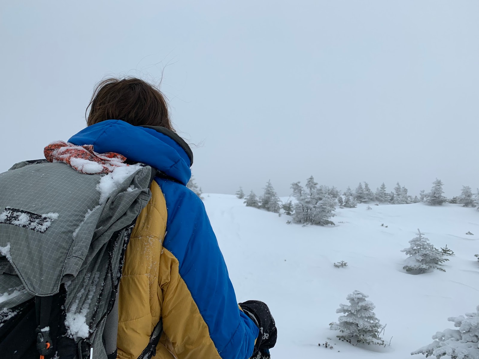
Mom and I hiked without Sage last Sunday; she was not feeling it that day. We decided to hike Eisenhower, a mountain we needed for the Grid.
It seemed like an average day in terms of temperature and general weather conditions.

I was glad the trail was packed out so well.


We both were feeling good when we encountered this sign:

We kept going...

We didn't do Pierce today, because we didn't need it for February for the Grid. When we got close to the ridge, we met a man who had turned back due to not being able to find the trail. We decided to try ourselves, and we encouraged him to come after us if he still wanted to get Eisenhower.

It was very cloudy up there, so the visibility was not great. We managed to find the pathway for a while, though, by following indentations in the deep and drifted snow, looking for the tops of cairns, etc.


The snow in my hair...


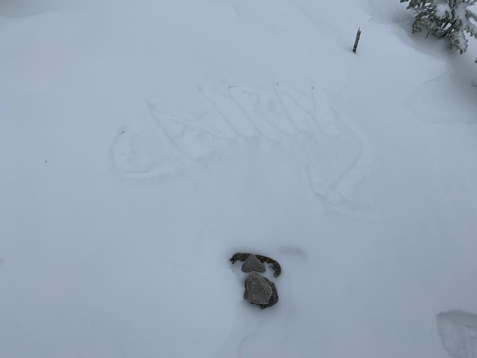
We laughed at how little of this cairn shows from under the snow (Mom used her pole to write "CAIRN" with an arrow). As you can see, finding the way was not easy.

A little ice formation...

Another miniscule cairn-top...

We stayed on the trail for a while, but at some point, we strayed from the path and ended up on a little hill. The actual trail bypasses that mountainous bump, so we ended up doing more work than we had to on this hike. Also, the man we crossed paths with earlier caught up to us just before the bump, and we tried to find the way together.
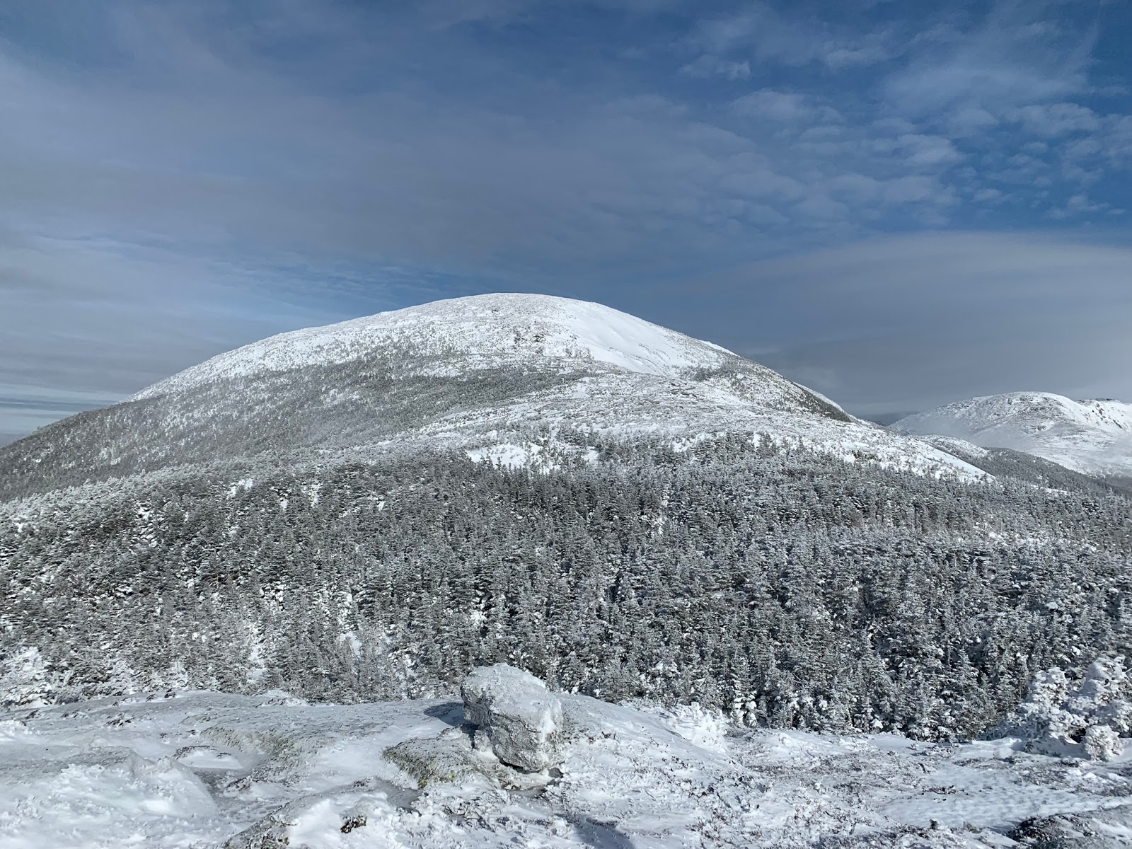
While we were up there, the clouds cleared for a few minutes, and we could see Eisenhower right in front of us.
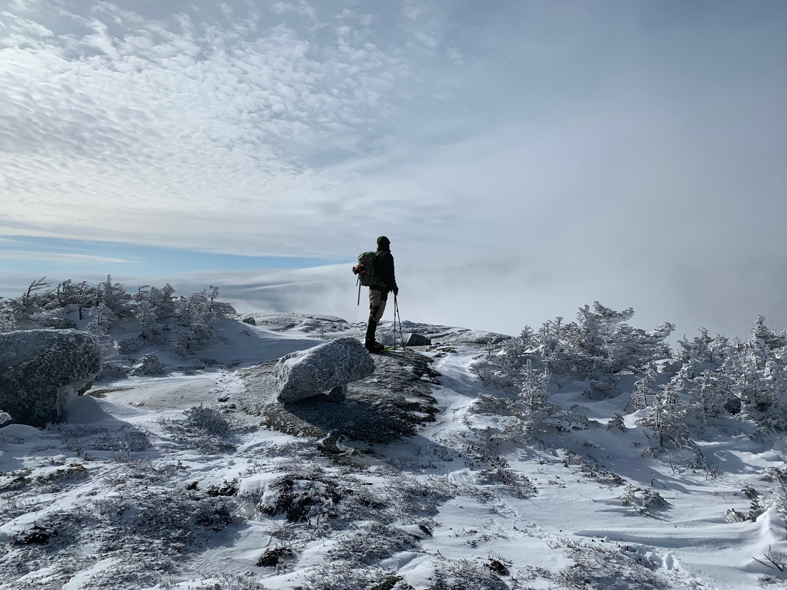
That's the fellow who caught up with us looking around after we got stuck on the hill...
After a little while, another group of hikers, who had followed our tracks, used their GPS to determine the exact location of the trail. It turns out we were around 100-150 feet to the right of the path. We made our way left until we found the trail again.


 |
| Taken by the man who was hiking with us for a bit up Eisenhower |
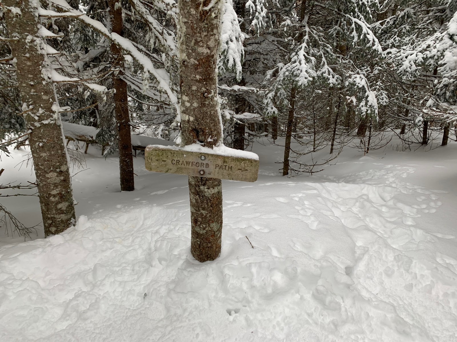
It was gratifying to see this intersection!

Up we went...


We were tired from breaking out the trail all the way from Pierce, and we were happy to be on the summit of Eisenhower. We had a delicious snack on the summit and then headed down a bit to have water.
 |
| Taken by a friendly hiker |
The trip back from Eisenhower was a breeze compared to our hike to Eisenhower from Pierce. I couldn't believe how fast it felt!

When we were descending past Pierce, we saw a confident gray jay...

I captured this comical picture of it flying rather close to my head...

There it is again! Its wings look great in this photo.


We had a great hike! We saw many people too, which made the trip more enjoyable.
No comments:
Post a Comment
Note: Only a member of this blog may post a comment.