Showing posts with label Union of Concerned Scientists. Show all posts

Wednesday, February 27, 2019

Liberty and Flume on a Windy Day, 2/16/2019

Please donate to Union of Concerned Scientists (UCS) and subscribe to their newsletter.  UCS is a nonprofit organization that does important scientific research; much of this research is done to study climate change and determine what we can do to prevent and deal with its negative effects.

Don't forget to check out Sage's blog!  We take turns writing the trip reports, so this blog only contains half our current hikes; Sage's blog contains the other half.

Liberty and Flume
2/16/2019
Liberty Springs Trail, Franconia Ridge Trail
Around 11 Miles
4,250 Feet of Elevation Gain

We now start our hikes a bit later than we did in the past.  I think this is because we are trying to let ourselves sleep in more.  It is really nice, at least for me, to start the hike in daylight instead of before the sun appears; when we start our hike and it is light outside, I feel more energetic and determined to begin than when it is dark.  

It was fairly cold this day, so I tried not to take too many pictures; when I take my hands out of my mittens in low-temperature weather, they start feeling numb, tingly, and then painful real quick.

Although there were some wispy clouds here and there, we could see well enough.  The views that we witnessed were beautiful.  We had to break out the trail, but between the peaks on the way back, we ran into other hikers.  After that, the trail became more and more packed out as others hiked on the trail too.

Also, it was amazing to know that we were walking on treetops right beneath the snow.


There was the summit of Liberty!  I love how the rocks look in the following image:
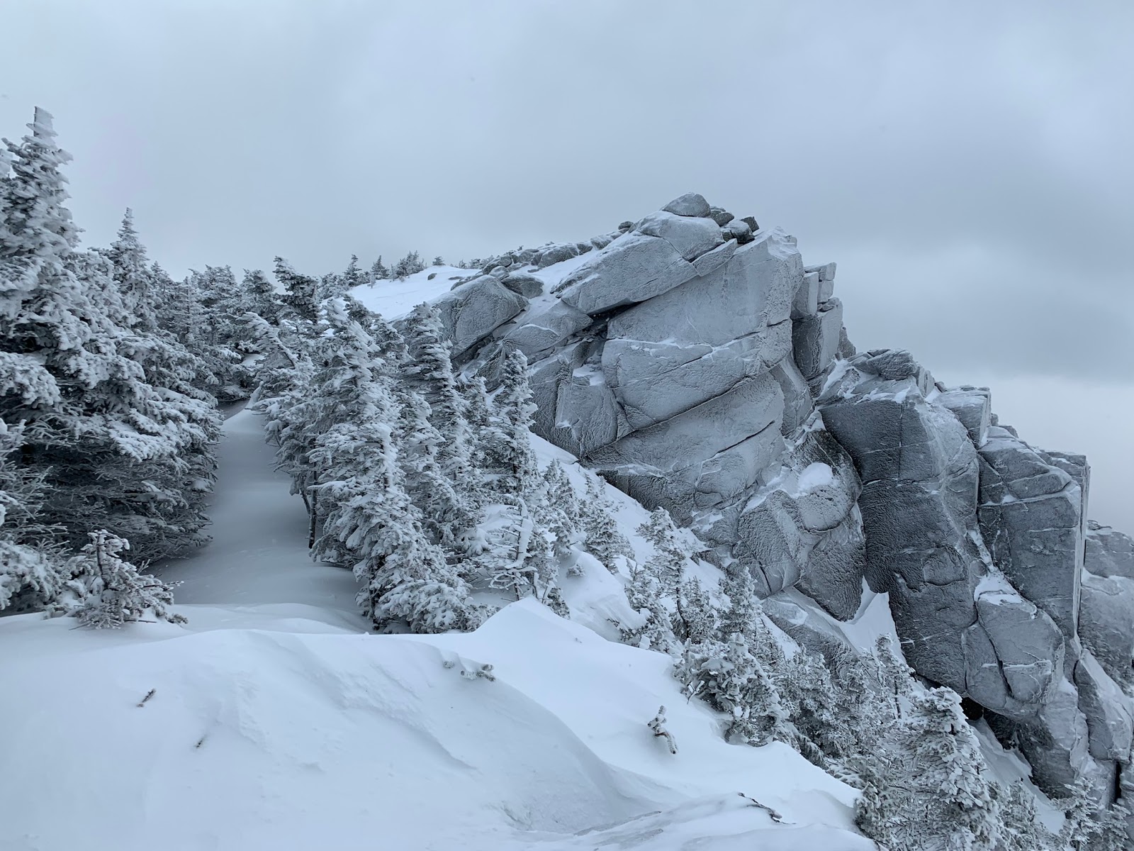


Some mysterious-looking views...


This was Sage and me on Liberty's summit:

Photo by Trish Herr


Mom and Sage on Liberty:


We were in fairly high spirits when we got to Flume.  We discussed the possibility of going down the Flume Slide, but we decided that it would be too dangerous.  We therefore went back up over Liberty and down Liberty Springs Trail.  


After we went back to Liberty and started heading down, I began feeling warmer.


Back at the car!


We had a nice hike of Liberty and Flume.  The views were pretty, and the packed-out terrain on the way back (we met more hikers on the trail) made our hike easier for the way down.

Wednesday, February 13, 2019

Eisenhower on a Cloudy Day, 2/3/2019


Eisenhower
2/3/2019
Crawford Path and Mount Eisenhower Loop
9.5 Miles Round-Trip
Around 3,200 Feet of Elevation Gain

Don't forget to check out Sage's blog.  She and I take turns writing trip reports.

Mom and I hiked without Sage last Sunday; she was not feeling it that day.  We decided to hike Eisenhower, a mountain we needed for the Grid.  

It seemed like an average day in terms of temperature and general weather conditions.


I was glad the trail was packed out so well.


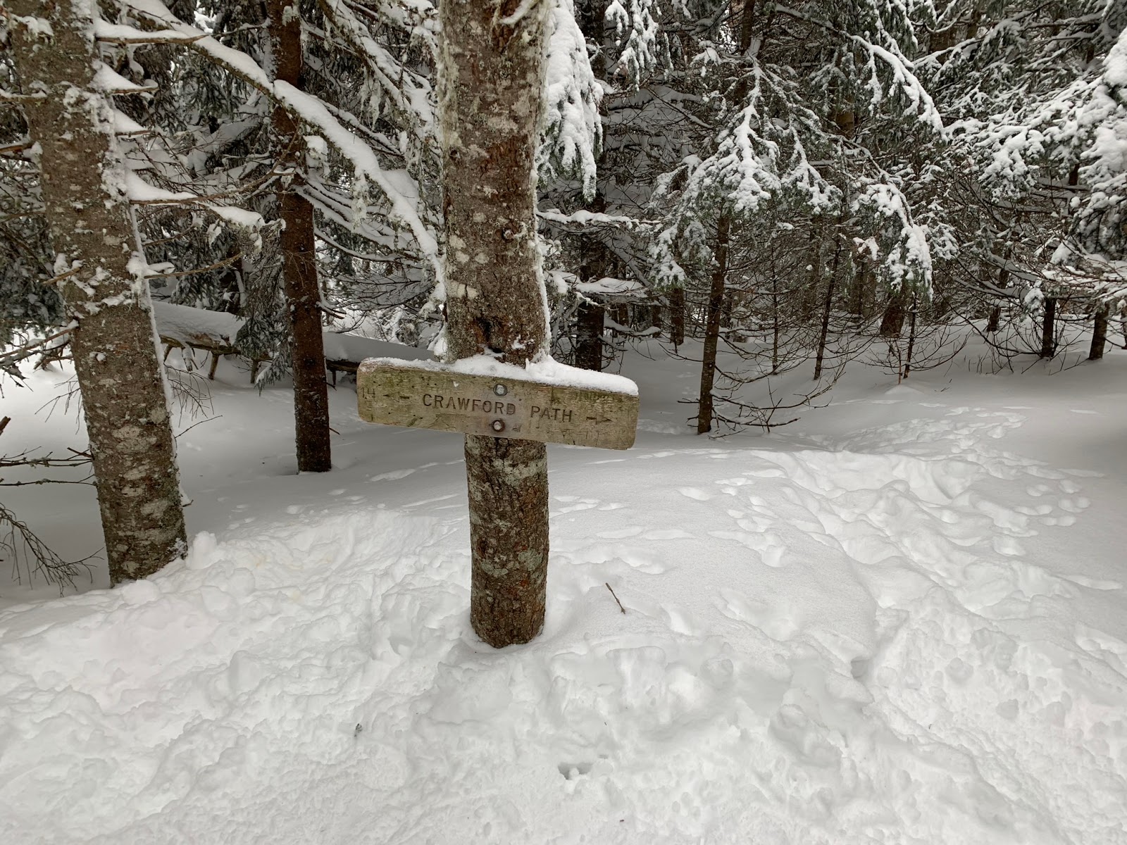
We both were feeling good when we encountered this sign: 


We kept going...


We didn't do Pierce today, because we didn't need it for February for the Grid.  When we got close to the ridge, we met a man who had turned back due to not being able to find the trail.  We decided to try ourselves, and we encouraged him to come after us if he still wanted to get Eisenhower.


It was very cloudy up there, so the visibility was not great.  We managed to find the pathway for a while, though, by following indentations in the deep and drifted snow, looking for the tops of cairns, etc.


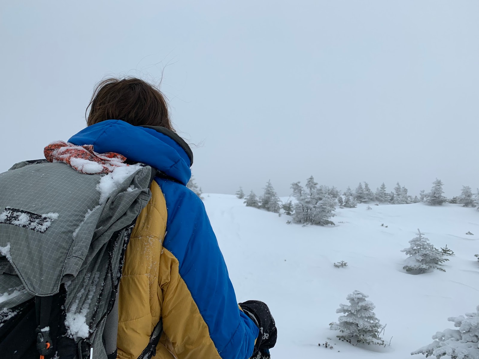
The snow in my hair...


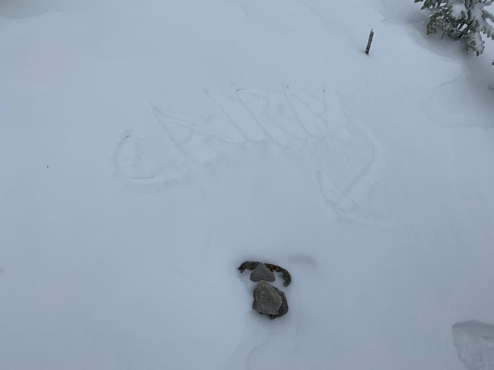
We laughed at how little of this cairn shows from under the snow (Mom used her pole to write "CAIRN" with an arrow).  As you can see, finding the way was not easy.


A little ice formation...


Another miniscule cairn-top...


We stayed on the trail for a while, but at some point, we strayed from the path and ended up on a little hill.  The actual trail bypasses that mountainous bump, so we ended up doing more work than we had to on this hike.  Also, the man we crossed paths with earlier caught up to us just before the bump, and we tried to find the way together.

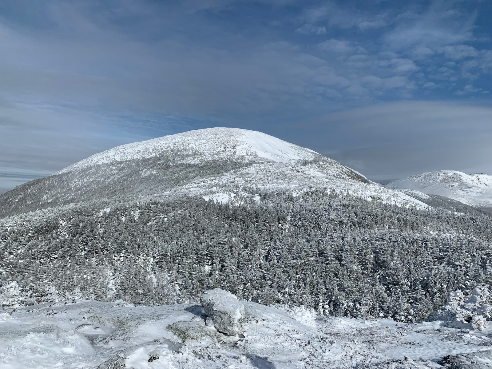
While we were up there, the clouds cleared for a few minutes, and we could see Eisenhower right in front of us.


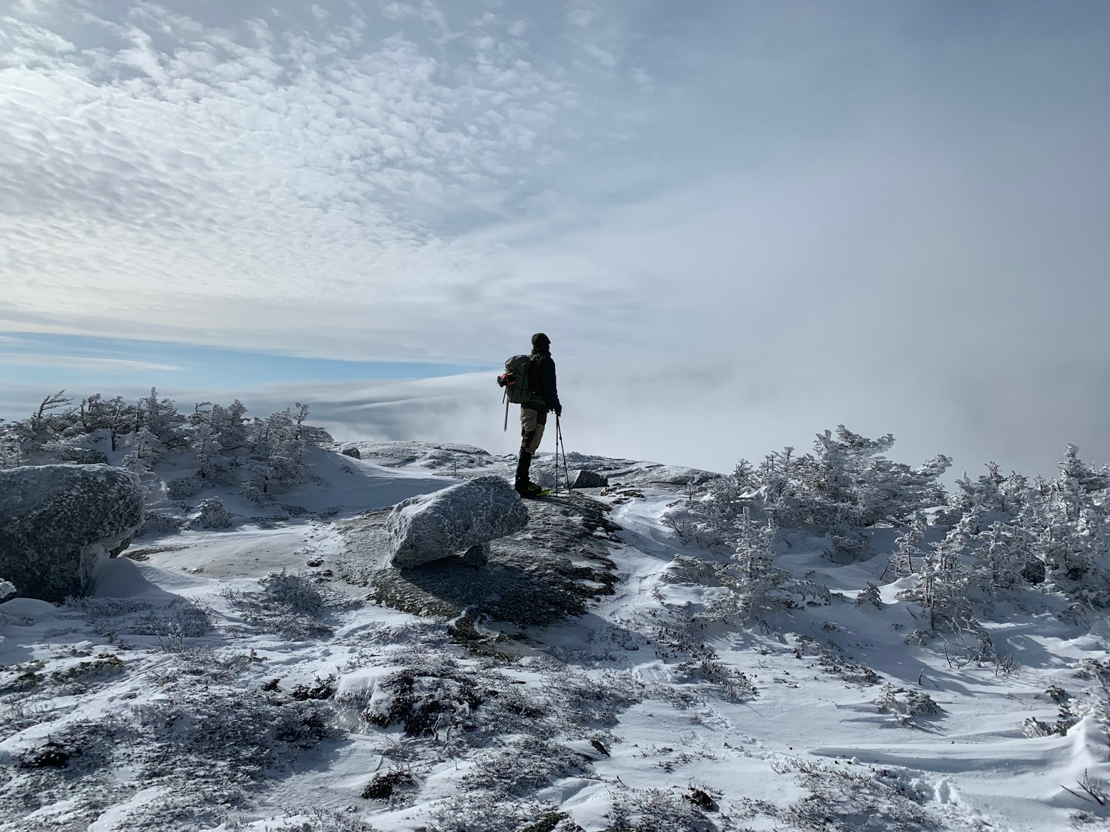
That's the fellow who caught up with us looking around after we got stuck on the hill...


After a little while, another group of hikers, who had followed our tracks, used their GPS to determine the exact location of the trail.  It turns out we were around 100-150 feet to the right of the path.  We made our way left until we found the trail again.


Taken by the man who was hiking with us for a bit up Eisenhower

It was gratifying to see this intersection!


Up we went...


We were tired from breaking out the trail all the way from Pierce, and we were happy to be on the summit of Eisenhower.  We had a delicious snack on the summit and then headed down a bit to have water.

Taken by a friendly hiker

The trip back from Eisenhower was a breeze compared to our hike to Eisenhower from Pierce.  I couldn't believe how fast it felt!


When we were descending past Pierce, we saw a confident gray jay...


I captured this comical picture of it flying rather close to my head...


There it is again!  Its wings look great in this photo.


We had a great hike!  We saw many people too, which made the trip more enjoyable.

Monday, December 31, 2018

Wildcat D with Cloud Formations, 12/29/2018

Are you concerned with the environment and worried about climate change?  You are not the only person who feels this way.  Learn about the unfortunate events relating to climate change that occurred during 2018 here.  Please donate to Union of Concerned Scientists and subscribe.

Wildcat D
12/29/2018
Wildcat ski trails
7.4 miles round-trip
Around 2,100 feet of elevation gain

It was an average winter day at the Wildcat ski area.  Thankfully, the weather was nice, and it wasn't too cold.  The only downside was the wind, but we didn't feel it that much.

I had a mild cold, so we did Wildcat D instead of a more difficult hike; I didn't want my health to worsen. 


We enjoyed a nice view of resting clouds.


I remember this hill every time we hike this mountain.


The cloud formations were beautiful...


Mom remarked that the clouds here resembled ice cream or mashed potatoes with a little bump in the middle.


The morning air was ripe and refreshing, and the scenery was staggeringly beautiful.


We arrived at the summit of Wildcat D with elevated spirits.


We had a great day!  I hope I get better soon, though.  Happy Holidays, everyone!