Please donate to Union of Concerned Scientists! Read what climate change has to do with hurricanes on their blog.
On this post, I am including the pictures from our last two hikes: the first up and over Field and Willey, and the second on Carrigain. Please check out our most recent GraniteGals podcast with Zoey Ceriello-Sachetta! She is seven years old and working on her first round of the New Hampshire 48.
This is an abbreviated report since schoolwork began and I am currently in the middle of a busy AP/Honors schedule. :)
9/10/2017
Avalon and Willey Range Trails
8.4 miles roundtrip
3,050 feet of elevation gain
3,050 feet of elevation gain
I noticed some (but few) leaves were turning when we started our hike up Field and Willey on the 10th of September (a Sunday). We did not do Tom today because we do not need Mt. Tom anymore for the September Grid.


Beginning the hike...


Heading up Field instead of Tom at this intersection...


We reached the summit of Field.

We got some water and then continued to Willey.


The summit of Willey. We went past this in order to go to the nearby outlook.

We didn't see any views; we were in the clouds.


While we were having our break, the clouds cleared up a bit.


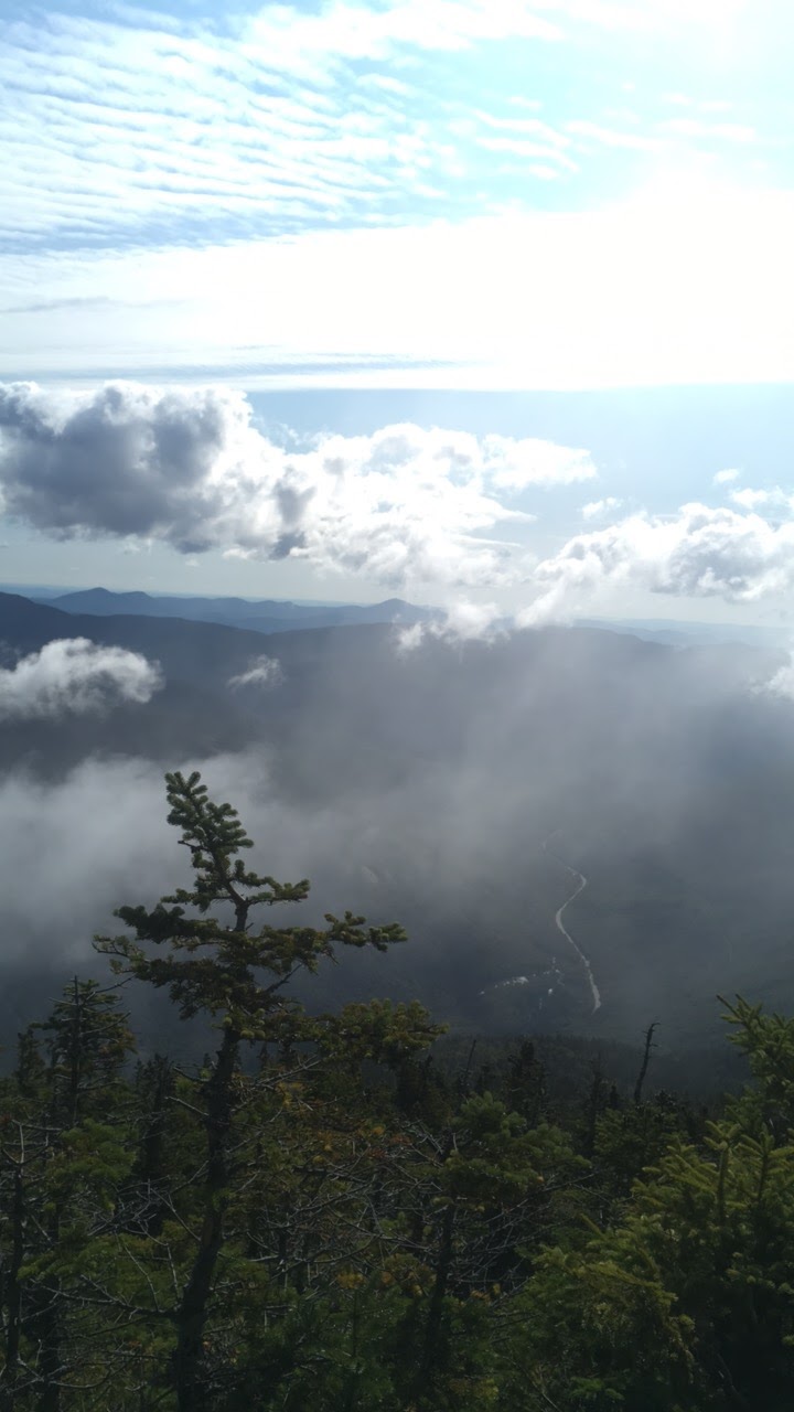
After we had eaten and drank our fill, we headed back to Field and then down to the car.



Carrigain
9/19/2017
Signal Ridge Trail
10 miles roundtrip
3,250 feet of elevation gain
9/19/2017
Signal Ridge Trail
10 miles roundtrip
3,250 feet of elevation gain
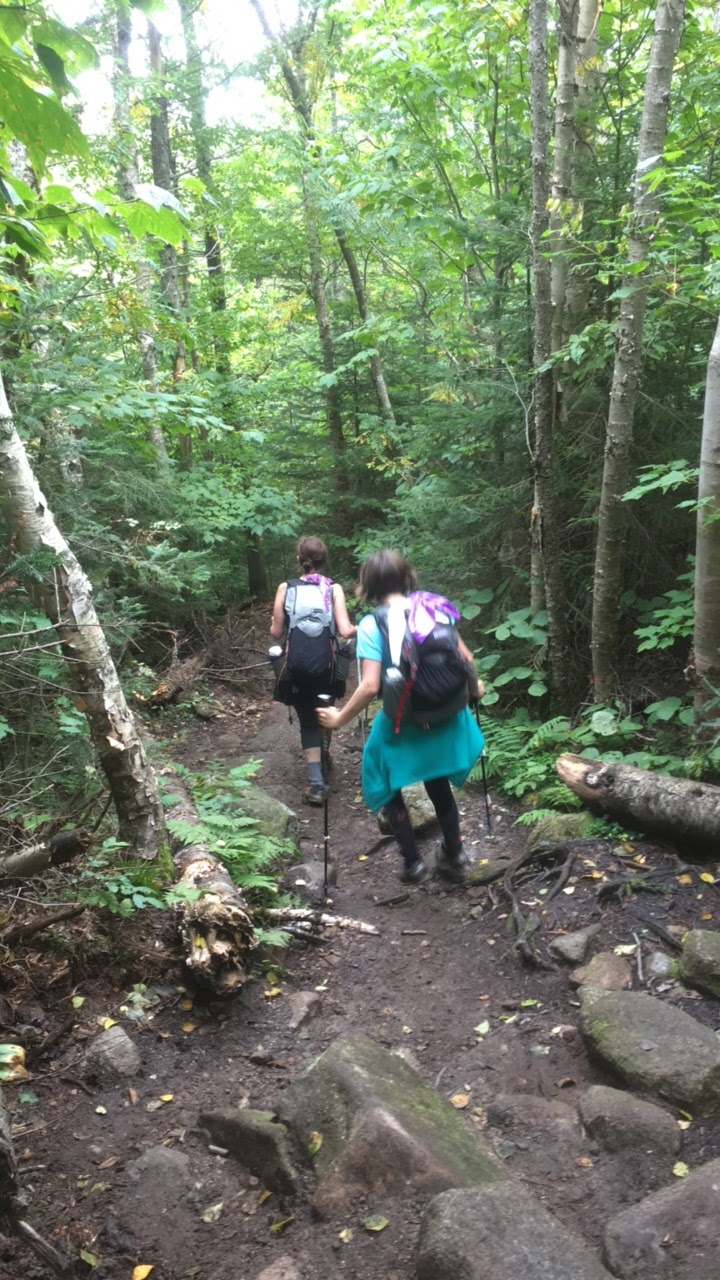
It was a humid day when we started hiking Mt. Carrigain. Also, it was a cloudy day and did not clear up until we were heading down the mountain. However, many of the trees' leaves had turned at this point and there were colorful fall leaves all over the ground. Many parts of the trail were bursting with color and they were beautiful sights to see!


Many bog bridges...


Then, the trail started to get steeper.


We finally finished that really steep mile and popped out on the ridge. The steep parts of the trail felt especially tiring for me, probably because the day was so humid. Getting up on the ridge felt nice.


Almost at the top...

We reached the summit of Carrigain!


We went on the tower to look around, but unfortunately the 360-degree views that are usually seen from the top were hidden by thick clouds.


I am scared of heights, so this part was a little frightening for me. I have climbed this tower before, of course, so I got up pretty easily despite my natural fears.


Heading back down the tower...


It was windy up there, so we went back down and ate a snack under the tower.


Heading down...


We had a good hiking day! I had only hiked Carrigain twice before this hike (and so had Sage), so we will be on Carrigain a lot more for the White Mountain Grid in the months to come.


